The site aims to inform the public about the development of the project and also to provide information and data on critical features and phenomena determining the structure and function of the Amvrakikos ecosystem. Main purpose is to increase the awareness of citizens and stakeholders, make easier the communication and information exchange with stakeholders and citizens in order to improve the monitoring and management of this unique area.
Aim and target
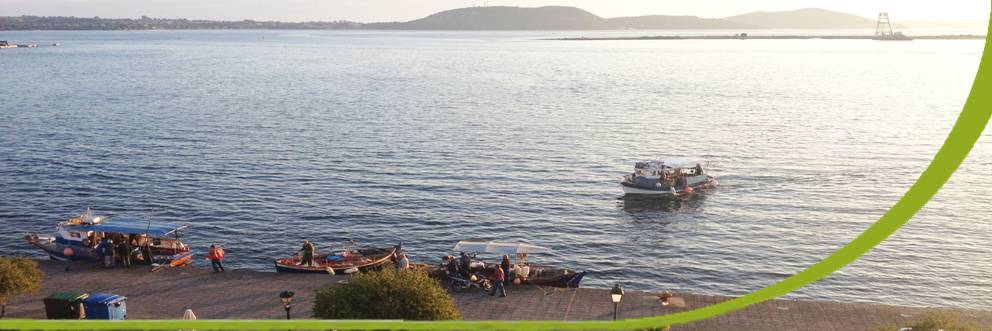
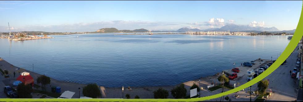
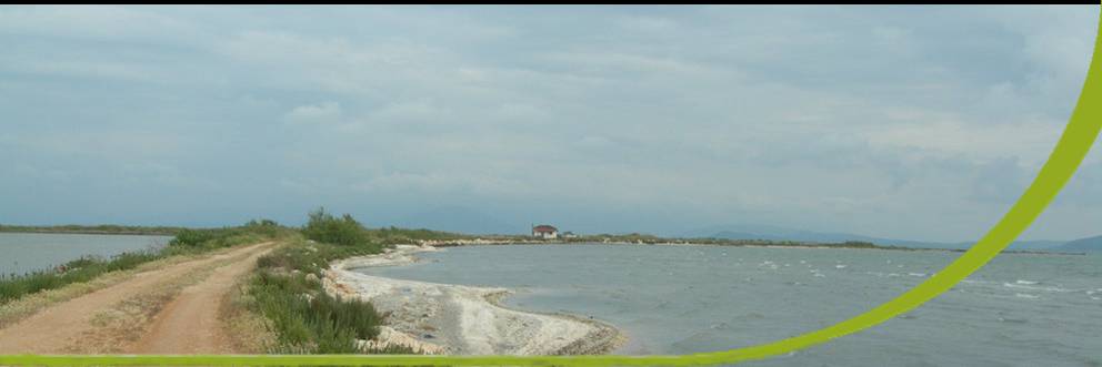
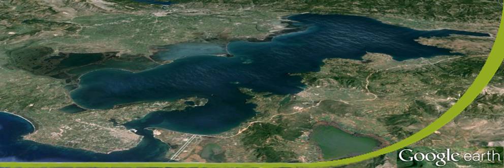
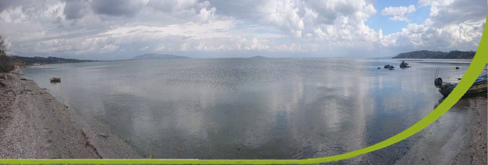
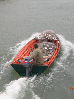
| The Amvrakikos Gulf is a 400 km2 semi-enclosed embayment in North-western Greece. It has limited exchanges with the Ionian Sea, it receives the freshwater of two rivers having hydroelectric dams and extended lagoons cover a large part of its Northern coast forming a Natura 2000 site. Since 2008 the lagoons are the main area of the Amvrakikos National Park. Important traditional fisheries exist and several sea farms have been established the last 15 years, forming a large fishery dependent community. Unfortunately the last decades a degradation of the sea water quality is observed. More than 50% of the Amvrakikos surface is covered by low oxygen (hypoxic or anoxic) water masses. Below the depth of 20m the oxygen concentration is to low to maintain life. In several cases the upward movement of the anoxic waters induced important fish die-off. Amvrakikos entered in the long and rapidly growing list of the marine dead zones of the world. The aim of the project is to achieve a more integrated management of coastal zone in the area. The goal will be attained by increasing the knowledge of the structure and dynamics of the anoxic zone, by developing the infrastructure for a more efficient monitoring, including important human activities directly linked or affecting the quality of the Amvrakikos waters and by increasing the information flow and the public awareness. Oceanographic cruises, fisheries studies and analysis of the rivers and drainage channels inflow in parallel with remote sensing monitoring will be carried out. Collaboration with the main beneficiaries such as stakeholders of the fisheries and aquaculture sector, the regional and central administration, environmental organisations and citizens desiring to be involved in the collection of field information is planned. |
|
The financial context
| The EEA Grants represent the contribution of Iceland, Liechtenstein and Norway to reducing economic and social disparities and to strengthening bilateral relations with 16 EU countries in Central and Southern Europe and the Baltics. By the EEA Grants, 86 projects funded in specific priority areas, through programmes in 16 beneficiary countries: Bulgaria, Croatia, Cyprus, Czech Republic, Estonia, Greece, Hungary, Latvia, Lithuania, Malta, Poland, Portugal, Romania, Slovakia, Slovenia, Spain. For Greece, financial contributions are available in the following priority sectors: Environmental protection and management, Climate change and renewable energy; Civil society; Human and social development, Protecting cultural heritage and Academic research in the priority fields. The project is part of the European Economic Area Financial Mechanism (EEA FM) 2009-2014 Programme Area paying attention on the “Integrated Marine & Inland Water Management”. The object on which the program focuses is water resources (surface and groundwater), whose situation is not appropriate. High priority is given to improving the monitoring, protection and proper management of marine resources, with particular attention to coastal areas threatened by erosion, destruction and pollution in order to protect marine ecosystems at local level. The programme is directed by the Executive Authority PA (former Special Agency for Coordination of Environmental Projects (SACEP) of the Ministry of Environment and Energy |
|